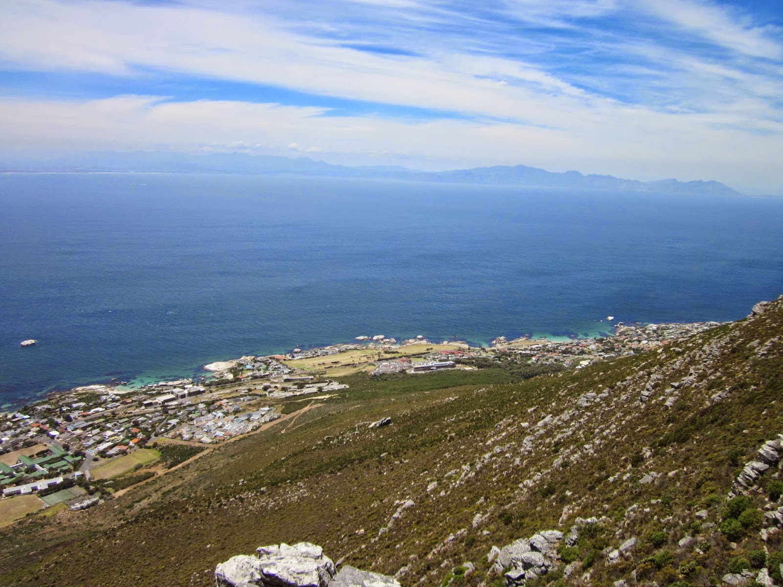
Sunday, 1 February 2015

Myburgh's Waterfall Ravine disa walk (13/19)

Our party of four (Bridget, Jacques, Kathie and I) set off from Ruyteplaats parking at Suikerbossie above Hout Bay and ascended onto the contour path which we followed eastward for about an hour, then up Myburgh's Waterfall Ravine.


We reached the lower waterfall which had a small trickle, and saw about four disas here high up on the left side. To continue we went back a short way and scrambled up a path on the left before descending later back to the streambed.


After another 15 minutes along the river bed we got up close to quite a lot of the flowers in a beautiful dripwall terrace on the right side of the kloof.


Bridget talking to a disa.


Further on the kloof narrows into an impressive steep canyon with sheer walls on each side, for about 500 metres before reaching the top waterfall where a path to the side takes you up a steep earthy scramble path and out into the open upper stream with disas a-plenty.


After climbing the steep green slope, we made a tea stop under a shady rooiels tree.


Agapanthus looking good too.


Then we carried on up on the left bank of the upper stream to the summit plateau where we sometimes lost the path as it went through boggy wetland. We joined the main Apostles path and soon were able to look out over the Atlantic ocean.


Lion's Head and the Western Table.


And in the other direction Sandy Bay, Karbonkelberg and Oudeschip point.


Heading further north we had a glimpse of Llandudno beach and then reached the head of the steep Llandudno Ravine.


Where we went down..


Down, down


And around to the left, then more down..


For a lunch break at the bottom of Llandudno Ravine.


Contouring around below the impressive cliffs of Eureka Face.


And from there went again steeply down - Hout Bay Corner - aided by more of the useful "staples" - the stainless steel handles anchored into the rock face,


Almost back to the start.  Hout Bay, with the pine plantation above Ruyteplaats in the forground.

It was a very enjoyable, fairly demanding hike with lovely scenery and the disa display met all expectations!  5 hours 50 minutes; about 8.5 km with 600m elevation gain.


Sunday, 25 January 2015

Right Face - Arrow Face traverse (12/18)

Today I joined the Hikers Paradise Hiking Club, led by Anwar Adams, on this adventurous traverse.  I had known vaguely of the route for a long time, and grabbed the opportunity to do it.

\

We set off from the lower cable station soon after 6 am, with the sunrise lighting up Signal Hill and Lion's Head.


And a blanket of fog over the Cape Flats.


We went up as far as the contour path and followed it south to Union Ravine where our route took the small path up and then branched into Yellowstone Ravine. It was then slog up until we reached Right Face ridge and went over and around it.


The Africa Amphitheatre lay in front of us, and our I could vaguely identify the route ahead (yellow line).


The path followed the narrow vegetated ledge, went through narrow cracks behind rock slabs and out into some rather exposed little ledges, until it emerged on a wider slope and joined the India Venster path.


Down India Venster and back to the Lower Cable Station. 


Sunday, 28 December 2014

Skoorsteenberg attempt (11/14)

I could not find my Slingsby map of Houtbay area this morning, and just hoped that I could wing it to the intended destination of Skoorsteenberg. Not a good idea!  

We set off from Tokai Arboretum and I started making route mistakes already while on the plantation paths and roads.  Eventually got onto the tarred mast road and found the correct path leading off to the right just after the Hoerikwagga trail meets the tar road.  Followed it for about half a k, but wasn't quite sure exactly where the path was heading or which of the high points was Skoorsteenberg!  So we stopped on some rocks at a nek where the path started to descend and called tea break.


While the family rested here with views towards Hout Bay and the Sentinel, I climbed up the closest peaklet immediately behind/to the right in this photo. As usually happens I reached the top to discover that there was a higher peaklet further, but I wasn't going there!


Later when I was able to study the map, I realized that none of these points were Skoorsteenberg, and that it was the one directly above Christopher's head in the picture above, and that the path would have taken us there. But it was a hot day, and after enjoying the views we were happy to go no further and headed back home.


The trail that goes along the western side of Constantiaberg and eventually descends to the Old Manganese Mine.


We took the mast road again for a while, but turned off to descend the Boekenhoutkloof path, and then along the jeep tracks and pine forests of Tokai back to our car.


Saturday, 29 November 2014

Simonsberg and upper Simon's Town waterfall (10/10)


MCSA hike. We met at Red Hill farm at 8.30am, left some cars there, and drove to the start above Seaforth. Although distance covered was only 5.7km with 450m of climb, we were out for 7 hours, as it was largely off-path with some scrambling, and at a very easy pace.


Route description by meet leader Martyn Trainor: "Start up the mule track and then via the Baboon’s Armchair rocks to the North Peak summit of Simonsberg. Down the western slope to near the old Signal School and then on to Redhill Farm via the secret Simon’s Town Falls and associated famous pools."


The Swartkop Spiderhead (Serruria hirsuta), along the mule track path.  It only occurs on north facing slopes on this block of mountains, a few kms in extent.  Worth planning another hike along here in prime flowering time around June/July, going by the beautiful photos posted on iSpot.


At the Baboon's Armchair rocks we stopped to have a bit of fun going through the crack in the backrest slab.  Martyn here providing tips on how best to do it.


Pieter


Out the other side ..


That's the backrest slab. The seat rocks are in front of it. It is possible to identify where these rocks broke away from the main cliff high up on the mountain and came tumbling down to rest here.


Simon's Town naval dockyard. Martyn ex-Navy man has lots of interesting facts and stories to tell.  South-easter cloud forming over Kalk Bay mountains.


After some easy scrambles and a clever little move under and through the jumble of slabs and boulders we emerged on the summit of North Peak for our lunch stop. 

360 degree anticklockwise sequence starting here.


North-west: the Navy dams and a glimpse of Scarborough beach in the distance.


West: Klawer Valley military munitions depot and shooting range.


South-west: Upper Klawer Valley


South: along the ridge towards the main peak of Simonsberg.


South-east: Boulders beach  etc


North-east: Seaforth and False Bay


And back to where we started.


On the move again, picking our way down the western slopes of Simonsberg.


Red Mimetes cucullatus


At the old Signal School, the grave of Just Nuisance. I wonder if there are any other dog graves like this?


The secret pools above the upper waterfall where we immersed ourselves. Ladies pool.


Mens' pool - only just deep enough to lie down in (Martyn has alternative names for these pools!)


The Admiral's waterfall gap with one of the navy ships visible.


And more of Simon's Town. The little pimple on the mountain at right top is where we had our lunch!