MCSA weekend meet to Springstybeugel to climb Slanghoek Peak. We met at the top of Du Toits Kloof pass and then went through the high security gate and drove up the Telkom road to the parking area for Krom River hut. Started hiking at 8 am.
After a brief stop at hut we headed up the steep path to Kromriver Dome, with these views up the Kromriver valley.
And the reverse view with the MCSA hut and its large pine trees visible.
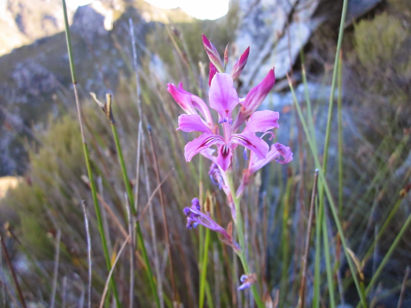
Um.. still to identify.
The path went straight up..
And after some effort we were on the top of the Dome.
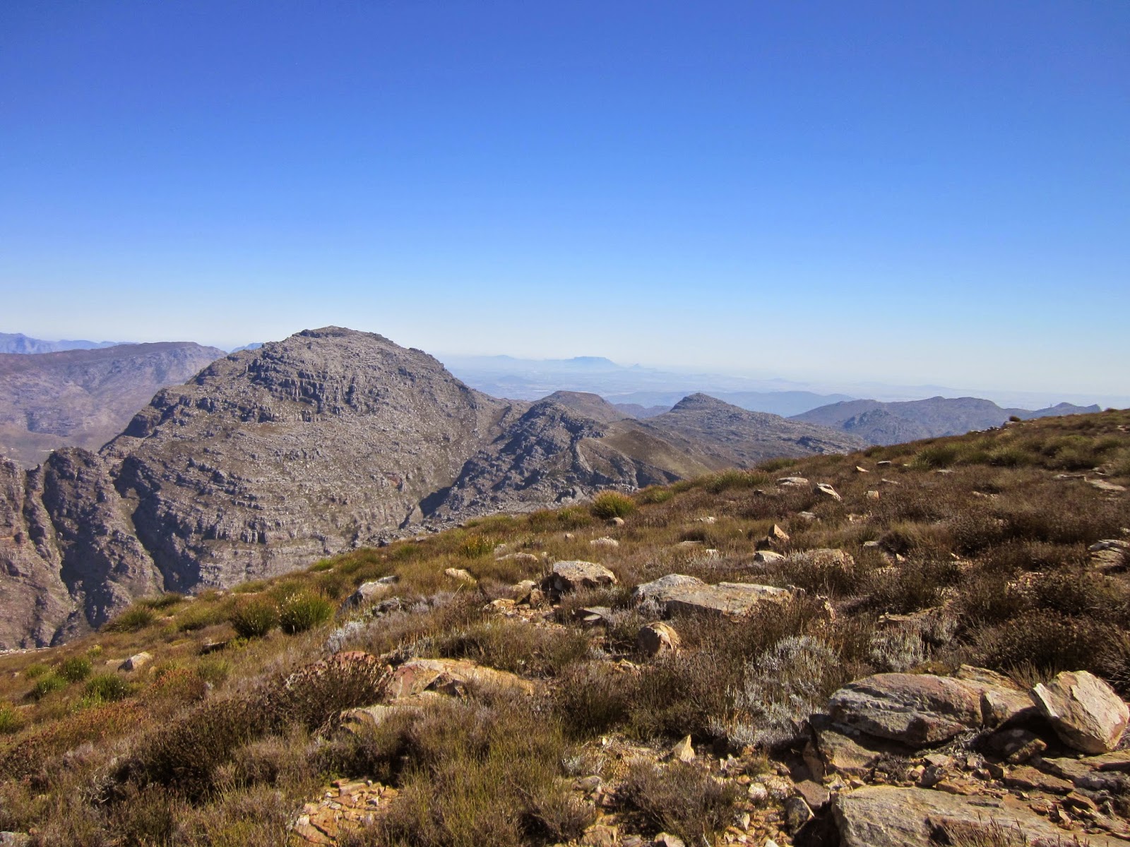
View to the south east from Kromriver Dome - the valley we were to hike down on Sunday, and Du Toits Peak in the middle distance.
Very pleasant hiking on a small path along the north east spur. Our campsite is over the nek at the end of the divide, and Slanghoek Peak, our destination, the furthest visible point at the middle of the picture!
We offloaded our camping gear at the campsite and continued with lighter packs/day packs along the vlaktes and wetlands of the Krom River headwaters. No more path.
Once over the nek at the head of the Krom River we had a better view of our peak. The going was not easy though.
Spectacular view down a kloof towards the Du Toits side.
And on the other side towards the top of the Witte River and Groot Wellington Sneeukop.
A well earned rest on the slopes of Grassy Dome peak.
Slanghoek Peak on the other side of the stunning sheer gorge of white quartzite. Gavin led us on an adventurous route along the ledge just under the upper band of rock.
A very deep kloof.
Vanessa on the ledge.
A perfectly formed ground protea. They face downwards for their rodent pollinators and you have to lift them up to appreciate their amazing symmetry.
Halfway up to the peak, a large expanse of bare rock.
Views from the top. Brandvlei dam and the Robertson mountains in the distance.
Lower end of DuToitsKloof pass and Rawsonville
Looking back towards where we had come from - Witteberg peak.
The Slanghoekberge on the left and Slanghoek valley
Hex River range in the distance.
Lunch about 14h30 at the summit beacon1698 metres.
Heading back. Witteberg Peak.
I think these patterns are where cracks in the quartzite became filled with shale like material.
Lovely fynbos colours in the late afternoon, upper Witte River in the distance.


No comments:
Post a Comment