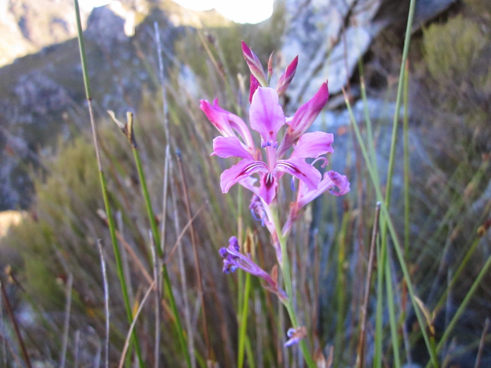
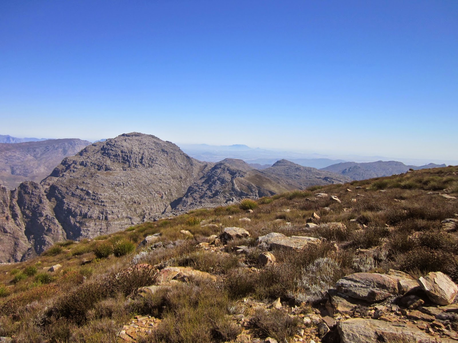
Sunday, 26 April 2015

Cairn Ravine (26/31)

Sunday morning, Bridget not hiking today, so I joined HPHK for another adventurous route on TM.  Cairn Ravine is just around the corner on the Camps Bay side and it turned out to be very challenging, with many tricky and exposed scramble pitches.We set off soon after 7 am from Kloofnek parking.


From here on the Pipe Track contour path, the route can be seen going up the dark/green gulley in the middle of the picture below the upper cable station. It ends up on Fountain Ledge, from where we joined the India Venster path for the descent.


After leaving the pipe track and ascending the lower slopes on a vague path through the fynbos, we reached the first rock cliffs.  These "built-up" caves are found in a number of places on the mountain. I wonder who has built them, lived in them and when?


The point where we first reached the stream bed of Cairn Ravine.


Up the stream bed to the big overhangs and then around them on the right hand side.


Quite a unique route, on this wide open ravine, with smooth sandstone bedrock.


That is what made it quite difficult, lots of small scramble pitches on with few holds.


Well some of us like these perches..


Near the top of the ravine, it splits and we took the right hand fork. 


Then more scrambling and a traverse and short climb to a large spur.


The Kloof Corner ridge.


The rest of our party of 17 beginning the traverse to the spur.


After a break, we continued up, going along this magnificent ledge.


From there it was straight up a fairly steep slope of mixed scrambling, boulders and path until we finally called lunch at the top just around the corner from the India Venster path at Fountain Ledge.


Sunday, 19 April 2015

Oppelskop (25/30)

A short easy hike, just Bridget and me. Oppelskop lower circuit from Saddle path parking.


Sunday, 12 April 2015

Slanghoek Peak meet day 2 (24/29)

It was a perfect night, windless with star bright no moon sky as we cooked supper and conversed around the gas cookers on a warm rock slab before heading for our tents some time after 9 pm.


By the time the sunshine reached our tents (note my ancient Kestrel tent at the back), it was about 8 am and most of us had already had a few cuppas and breakfast. We were not in a hurry (especially not Greig) so we finally started hiking at 10am.


It was the longer route back to Kromriver hut, down the valley below the Dome and around the south snd west sides. All on path today!


The little stream where we rested and crossed. 


Du Toits Peak and these odd rock features!  I wonder if this area deserves a name?


We headed off the path to the 1081m trig beacon with good views of the lovely Smalblaar and Elandspad (just a bit dominated by highway)!


Protea cynaroides alongside the path.


We had a leisurely lunch and swim at the excellent pool just above the hut.


Back at the cars, our party: me, Gordon, Stephen, Anton, Greig, Vanessa, Gavin.


GPS Track for the weekend thanks to Stephen:


Saturday, 11 April 2015

Slanghoek Peak meet day 1 (23/29)


MCSA weekend meet to Springstybeugel to climb Slanghoek Peak. We met at the top of Du Toits Kloof pass and then went through the high security gate and drove up the Telkom road to the parking area for Krom River hut. Started hiking at 8 am.


After a brief stop at hut we headed up the steep path to Kromriver Dome, with these views up the Kromriver valley.


And the reverse view with the MCSA hut and its large pine trees visible.


Um.. still to identify.


The path went straight up..


And after some effort we were on the top of the Dome.


View to the south east from Kromriver Dome  - the valley we were to hike down on Sunday, and Du Toits Peak in the middle distance.


Very pleasant hiking on a small path along the north east spur. Our campsite is over the nek at the end of the divide, and Slanghoek Peak, our destination, the furthest visible point at the middle of the picture!


We offloaded our camping gear at the campsite and continued with lighter packs/day packs along the vlaktes and wetlands of the Krom River headwaters. No more path.


Once over the nek at the head of the Krom River we had a better view of our peak. The going was not easy though.


Spectacular view down a kloof towards the Du Toits side.


And on the other side towards the top of the Witte River and Groot Wellington Sneeukop.


A well earned rest on the slopes of Grassy Dome peak.


Slanghoek Peak on the other side of the stunning sheer gorge of white quartzite.  Gavin led us on an adventurous route along the ledge just under the upper band of rock.


A very deep kloof.


Vanessa on the ledge.


A perfectly formed ground protea.  They face downwards for their rodent pollinators and you have to lift them up to appreciate their amazing symmetry.


Halfway up to the peak, a large expanse of bare rock.


Views from the top. Brandvlei dam and the Robertson mountains in the distance.


Lower end of DuToitsKloof  pass and Rawsonville


Looking back towards where we had come from - Witteberg peak.


The Slanghoekberge on the left and Slanghoek valley


Hex River range in the distance.


Lunch about 14h30 at the summit beacon1698 metres.


Heading back. Witteberg Peak.


I think these patterns are where cracks in the quartzite became filled with shale like material.


Lovely fynbos colours in the late afternoon, upper Witte River in the distance.